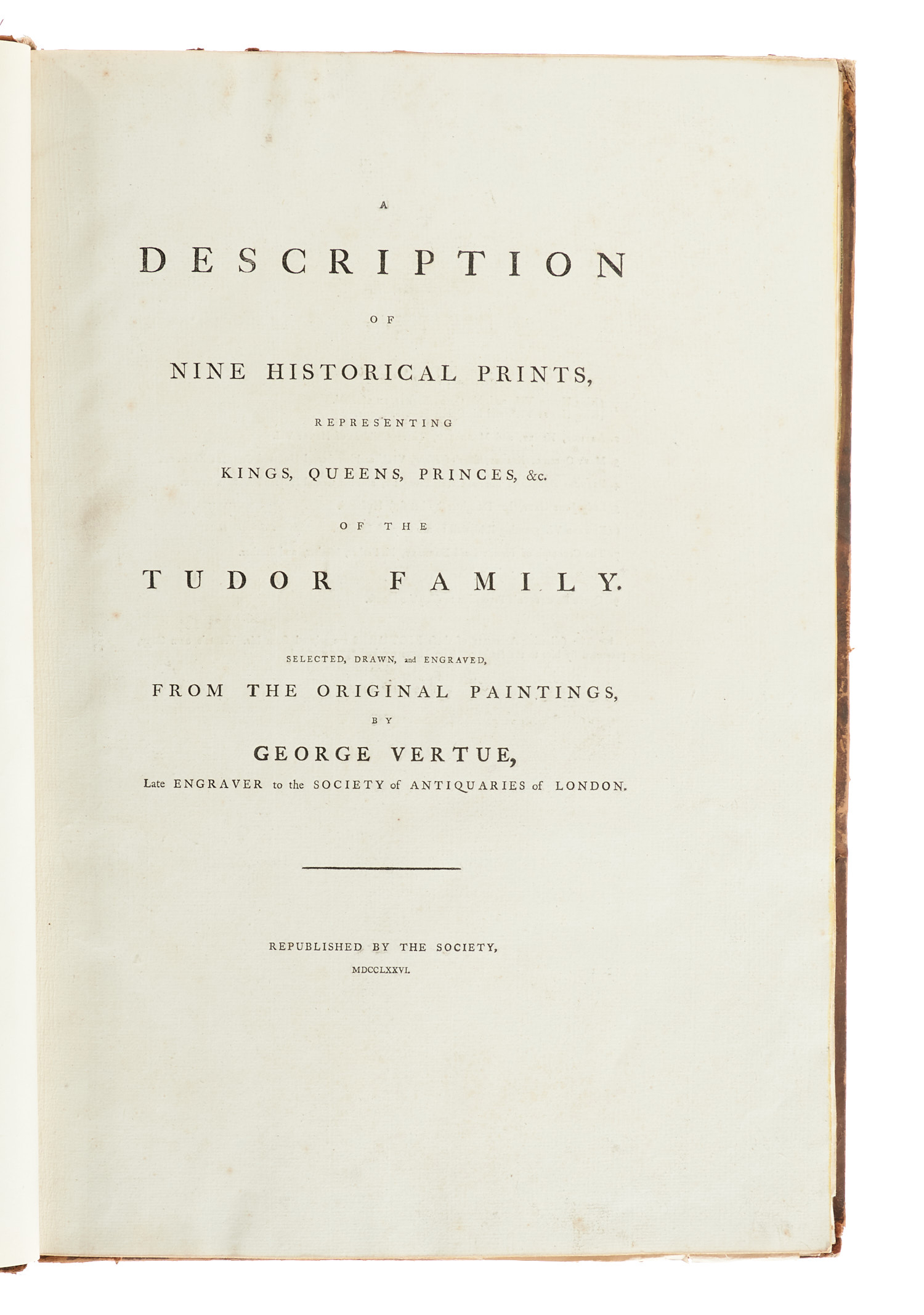
775: GROSSBRITANNIEN – LONDON – VERTUE, G.,
regular tax scheme 7% VAT
Ergebnis: 2.000,- €


Die doppelblattgr. Tafel mit der Darstellung der Schlacht von Carberry Hill. – Es fehlt Tafel III ("Mary Queen of France"). – Tls. leicht fleckig und etw. gebräunt.
BEIGEBUNDEN: I. "Civitas Londinum Ano Dni Circiter MDLX" oder "Londinum Antiqum". Planansicht von London. Kupferstich (von 8 Platten) nach Ralph Agas, dat. 1737. Ca. 190 x 68 cm (nicht zusammengesetzt; Gesamtgröße). – Tls. unterschiedlich starke Abdrucke.
II. "An Exact Surveigh of the Streets, Lanes, and Churches, Comprehend D. Within the Ruins of the City of London, First Described In Six Plats 10 Decem(be)r A(nn)o Dom(in)i 1666 … Reduced into one intire Plat". Grundrißplan mit 7 kleinen Ansichten und einem Übersichtsplan. Kupferstich (auf 2 doppelblattgr. Tafeln), dat. 1723. Ca. 52,5 x 124 cm (nicht zusammengesetzt; Gesamtgröße). – Unten bis knapp innerhalb der Darstellung beschnitten.
III. "A Survey & Ground Plot of the Royal Palace of White Hall". Grundrißplan (auf doppelblattgr. gefalt. Kupfertafel), dat. 1747. 54 x 70 cm.
IV. Ferner 16 (9 doppelblattgr.) Kupfertafeln, darunter eine vierblättrige num. Folge von Ansichten aus der Umgebung von Oxford, gestochen von Newnham 1763 und 2 Porträts.
With 7 (of 8) double-sheet-sized engraved portraits and a double-sheet-sized copper engraved plate. – One plate with the depiction of the Battle of Carberry Hill. – Missing plate III (Mary Queen of France). – Partially slightly soiled and somewhat tanned.
REBOUND with the following copper engravings: I. Civitas Londinum. Engraved on 8 plates after Ralph Agas, dated 1737. – II. An exact surveigh of the streets,… within the ruins of the City of London. Map with 7 small views, on 2 double-sheet-sized plates, dated 1723. – Trimmed. – III. A survey & ground plot of the Royal palace of White Hall. Double-sheet-sized map, dated 1747. – IV. 16 (9 double-sheet-sized) engraved plates. Amongst those are 4 views of the surroundings of Oxford, engraved by Newnham in 1763 and 2 portraits. – Contemporary calf with label and gilt-tooling on the spine (head and tail bumped, joints cracked, scuffed and bumped).